Machine learning and small object detection using sub-meter remote sensing data
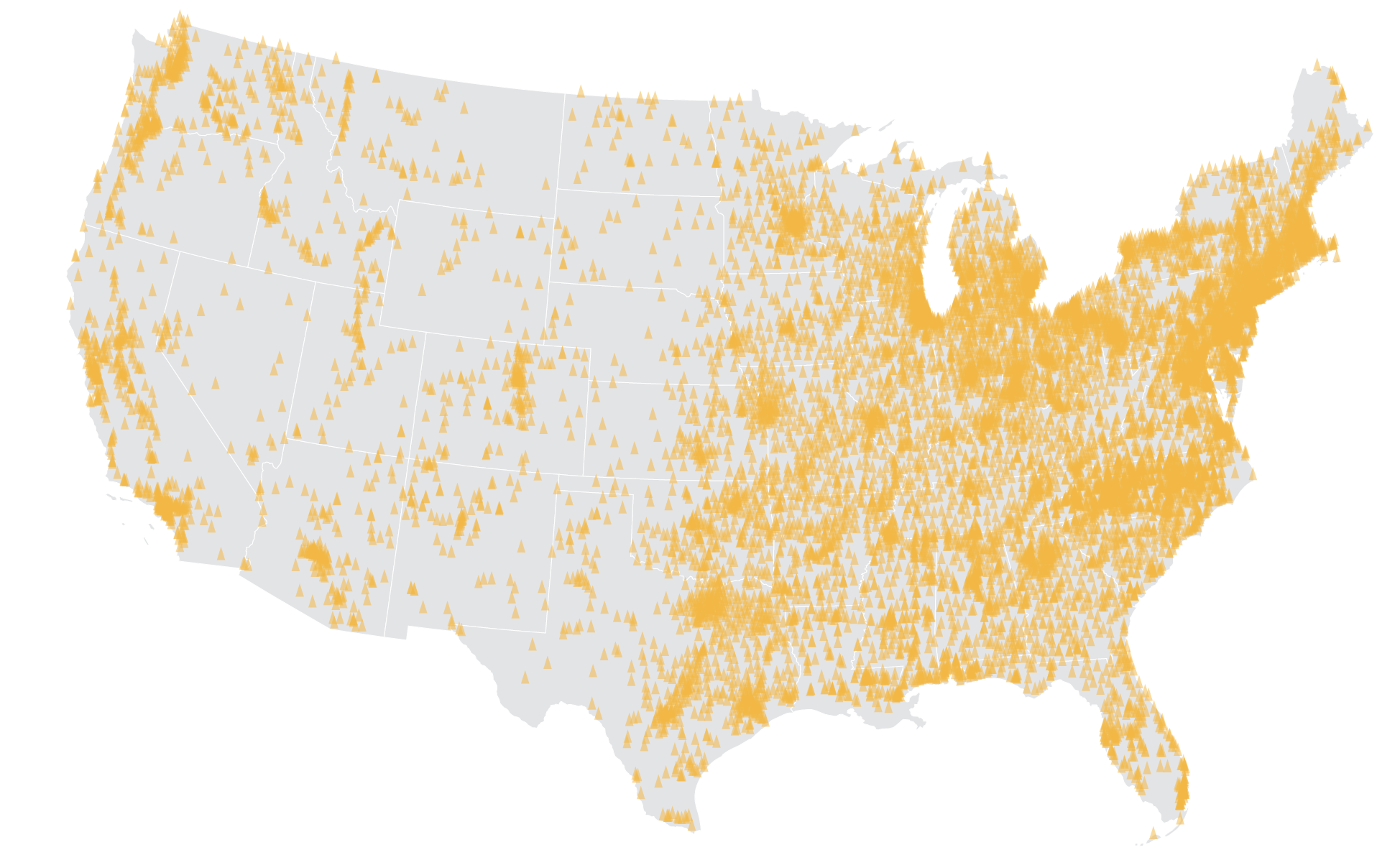
We used the 0.6-1m resolution National Agriculture Imagery Program (NAIP) dataset to map school bus depots across the 48 contiguous U.S. states 
We used the 0.6-1m resolution National Agriculture Imagery Program (NAIP) dataset to map school bus depots across the 48 contiguous U.S. states 
Short description of portfolio item number 2 